The first thing that will spring to mind for most people is the fact that paper maps require no power.
Most serious ADV’ers will have their GPS hardwired to the bike with a rechargeable battery in it so that eliminates that possible problem in most circumstances.
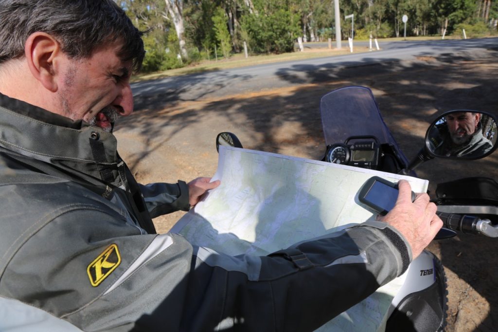
A map has another advantage in that it gives you a bigger overall picture, making it easy to see what links up with what without all that scrolling back and forth on a screen the size of a postage stamp. When we unexpectedly came to a locked gate on our ride it was easier to find another route on the map and then use the GPS to follow it.
Despite that drawback, it’s definitely quicker to look at a GPS on the handlebar than to stop and unfold a map and then search for where you are. Or where you should be if you are off course.
Weather comes into it as well as a decent GPS unit will be weather-proof. Trying to unfold and then fold a soggy map is about as much fun as dental surgery and if it’s windy as well then good luck keeping the thing intact and readable.
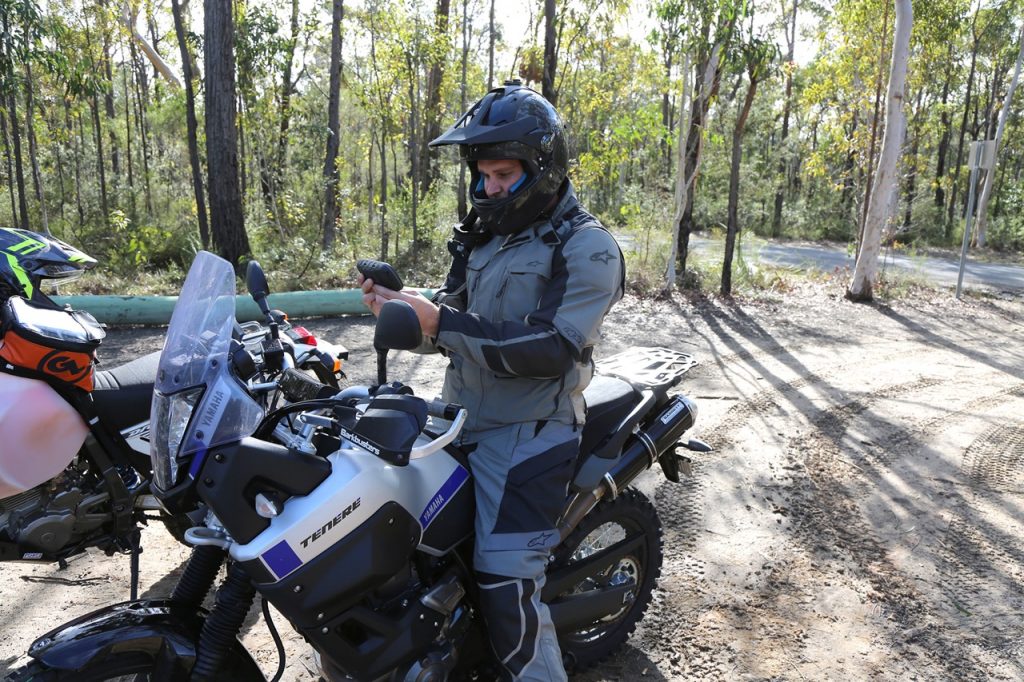
BUNDY AND COKE
For our test we used both, mostly at the same time, and found they went well together just like Bundy and Coke, although we sometimes used one and not the other [no we don’t recommend drinking Bundy straight]. A map doesn’t require a lot of knowledge or training as it’s mostly self explanatory but a little knowledge is required to get the best out of a GPS with loading pre-planned routes and such.
It is much easier to just follow a purple line on the GPS screen when it’s all set up and running on the handlebars than to stop and unfold a map. We only received the GPS the day before so had no time to set up a route beforehand.
A map may well have some info that you won’t find on a GPS and it will have a printing date on it somewhere which will give an indication of how old it is.
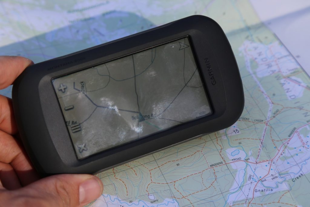
Maybe, not will be, as it may be working with old information. The maps we used were the Sassafras 1:25,000 topographical map with a print date of 2007 along with the adjoining Tianjara and Huskisson maps as well as an older Nowra State Forests map dated September, 1983. The GPS used was a Garmin Montana 650T and it was new.
The Garmin certainly can do a lot more than a paper map with more features than most of us would need. It can run on three AAs, the supplied lithium-ion rechargeable or direct from the bike battery through a mounting cradle.
Switching it on brings up a page on the 90m x 50mm colour screen which gives the time, date, battery condition and latitude and longitude position on the right side. To the left are icons for map, where to, trip computer and mark waypoint as well as an arrow which opens a further menu.
It features a five-megapixel camera, route planner, active route, camera compass, alarm clock, calculator, a man overboard feature for boaties, and an area calculator to name a few. The trip computer shows your current speed, maximum speed, moving time, average moving speed, stopped time and overall average speed as well as an odometer and the distance remaining to your destination. All useful information you may need various times when travelling.
The real beauty of the Garmin Montana 650T is that it comes with a free program from Garmin called BaseCamp and pre-installed topographical maps of Australia and New Zealand. With these you can plan a route for a long distance or even multi-day ride through remote areas like state forests and national parks without buying and carrying a heap of paper maps.
You then simply follow the purple line on the screen map and the directions which pop up in a text box. It’s as easy as falling out of bed. The T in the model name indicates that the unit comes with the topographical maps already installed. If you buy a model without the T in the name then the maps have to be bought separately on a Micro SD card and installed.
The Montana 650T has recently been replaced by the 680T which has even more jiggery pokery such as an eight-megapixel camera, more memory and will use both GPS (US) and GLONASS (Russian) satellite systems, for more accuracy. Prices at time of writing were $799 for the 650T and $899 for the 680T.
WORDS // WARREN JACKS PHOTOS // MITCH LEES
See the full feature in ADB issue #450.